Codex CLI
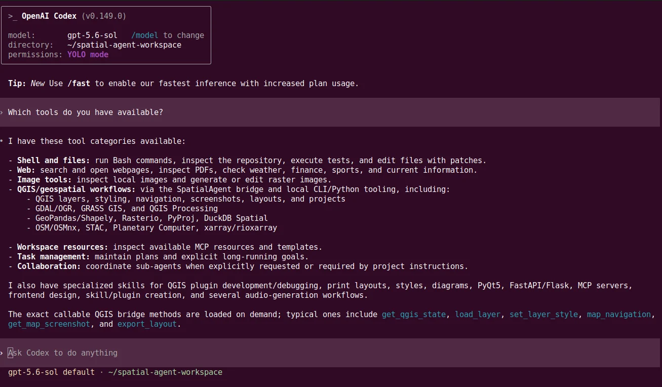
Codex must be installed and signed in as a terminal CLI so the SpatialAgents setup wizard can prepare the project profile and launch the shell.
Install Codex CLI ↗Quickstart
Install the SpatialAgents QGIS plugin, select your agent system, then work with the open QGIS project from a Codex, Claude Code or OpenCode shell.
System requirements
SpatialAgents support Linux. Use on Windows is experimental. Install and authenticate at least one of the three supported CLIs before starting the setup wizard.
Codex must be installed and signed in as a terminal CLI so the SpatialAgents setup wizard can prepare the project profile and launch the shell.
Install Codex CLI ↗Claude Code must be installed and authenticated locally. The setup wizard then adds the project-specific instructions and skills.
Install Claude Code ↗OpenCode must be installed as a terminal CLI and configured for the intended model provider before using the project profile.
Install OpenCode ↗The SpatialAgents QGIS plugin is provided as a ZIP. To obtain it, set it up and fit it into your QGIS project, contact Geoinformatikbüro Dassau GmbH (GBD). Keep the received file zipped for installation.
If QGIS is not installed yet: download QGIS; its use is described in the QGIS user manual. Open Plugins → Manage and Install Plugins → Install from ZIP, select the plugin ZIP and confirm the installation.
On first launch, the SpatialAgents setup wizard guides you through execution mode, Python environment, bridge setup and discovery of available agent CLIs.
Choose Codex CLI, Claude Code or OpenCode and define a shared project directory. SpatialAgents prepares agent profiles, skills and bridge configuration there.
Launch the selected CLI from the SpatialAgents toolbar. The shell opens in the shared workspace and connects to the running QGIS project.
Start with a bounded task that combines data acquisition, QGIS presentation and a visible result.
Load restaurant and café points for Berlin-Kreuzberg, style them by category, adjust the map extent and save a screenshot in the output folder.
Verify the result
Review layers, symbology, map extent and generated files. The SpatialAgents can read the project state and screenshots again and refine the task together.
Technical detail
The documentation covers configuration for Codex CLI, Claude Code and OpenCode, local data flow, the shared workspace and common verification steps.